Log in
All resources
Create a design
34,309 Free Images of 1799 Maps
atlas of the russian empire (1800)
atlante veneto (raremaps.com) volume 2
gerard valck
maps from the mechanical curator collection
maps from the mechanical curator collection available to georeference
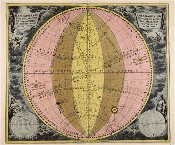
geographical illustrations by coronelli
old maps of the peloponnese
atlante veneto (raremaps.com) volume 1
1690s maps of the netherlands
atlantis magni tomus tertius (biblioteca comunale di trento)
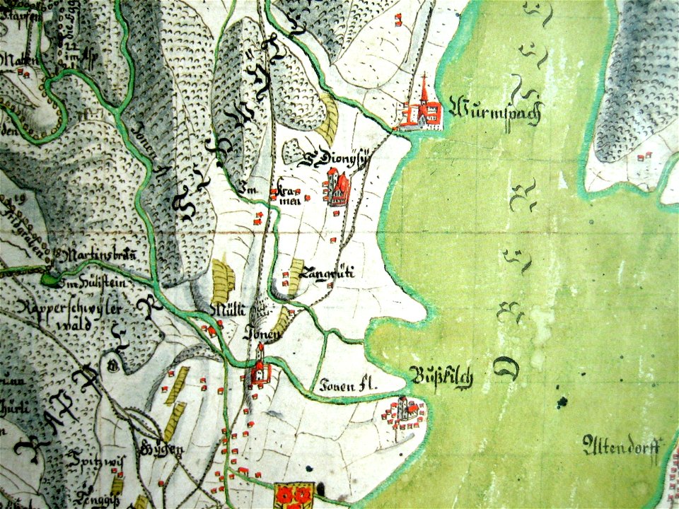
mariazell wurmsbach abbey
gygerkarte
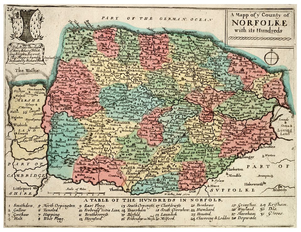
history of norfolk
england
old maps of braunschweig
atlas van der hagen
carolus magnus in art
allegory
maps made in the 17th century
guillaume sanson
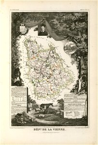
coats of arms of cities in vienne
frédéric-auguste laguillermie
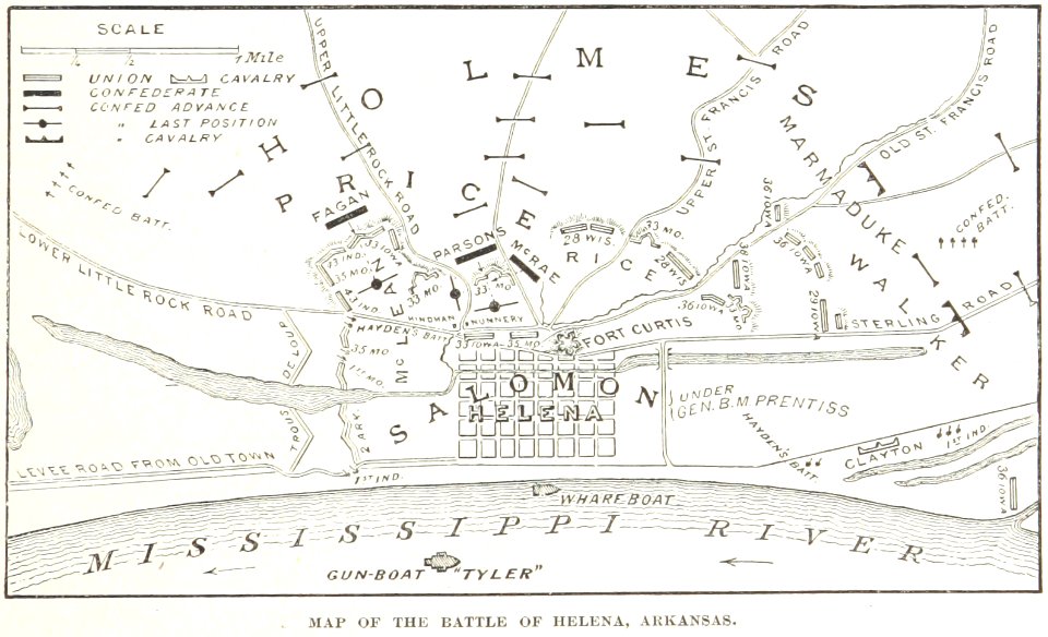
battles and leaders of the civil war (1887)
maps from the mechanical curator collection
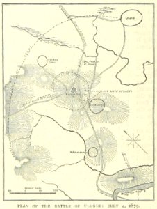
illustrated battles of the nineteenth century
1895 drawings
illustrated battles of the nineteenth century
1895 drawings
illustrated battles of the nineteenth century
1895 drawings
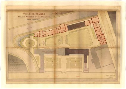
rennes in the 1900s
old maps of rennes
gerard valck
earth
hand-drawn maps and views of world war i battlefields by h.m.
1917 maps of lithuania
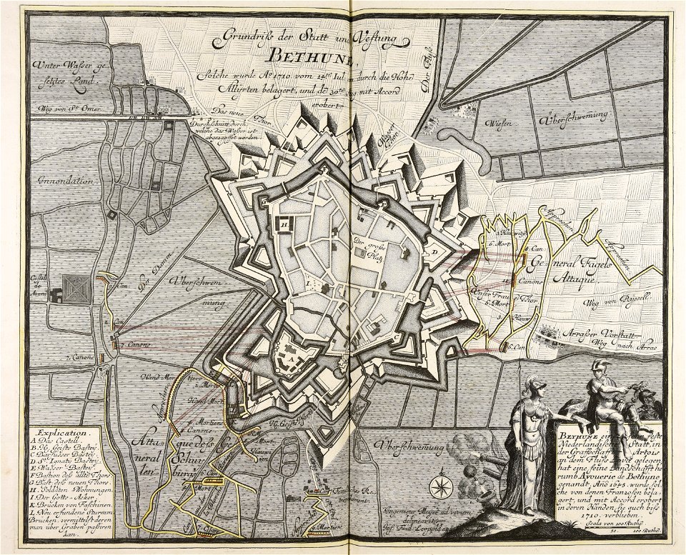
old maps of béthune
1710
war of the spanish succession
1710
prince-bishopric of osnabrück
gerard valck
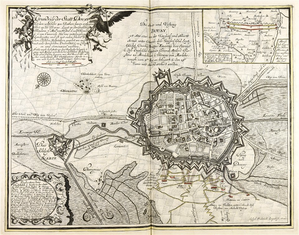
maps made in the 18th century
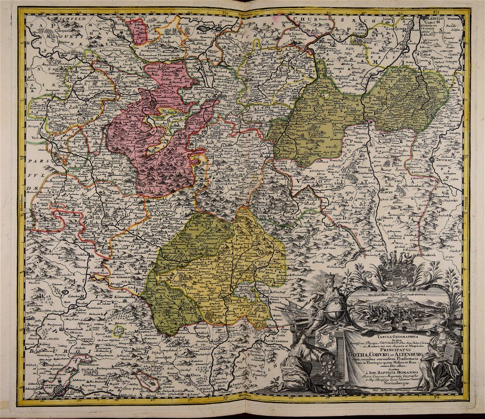
johann baptist homann
gerard valck
indonesia
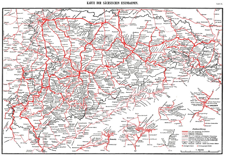
königlich sächsische staatseisenbahnen
enzyklopädie des eisenbahnwesens
1912 in rail transport in germany
enzyklopädie des eisenbahnwesens
coats of arms on maps
thüringiae
prints from manesson travaux de mars at the peace palace library
fortifications in france
maps by willem and johannes blaeu
circumvallation
maps by pieter schenk (i)
gerard valck
nagasaki
iki
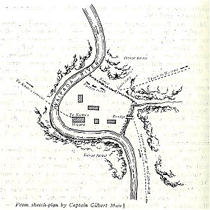
military history of new zealand
maps of battles
charts and maps of the royal museums greenwich
1590 maps
maps made in the 18th century
gerard valck
lawrence h. slaughter collection of english maps, charts, globes, books and atlases
nypl lionel pincus and princess firyal map division
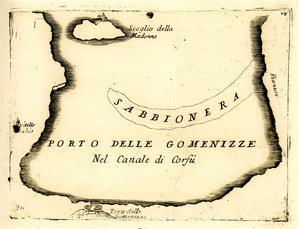
port of jijel
maps of jijel
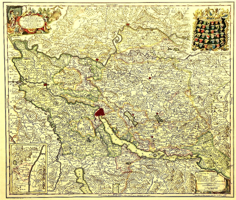
delineatio pagi tigurini by matthäus seutter
old maps of switzerland
geographical illustrations by coronelli
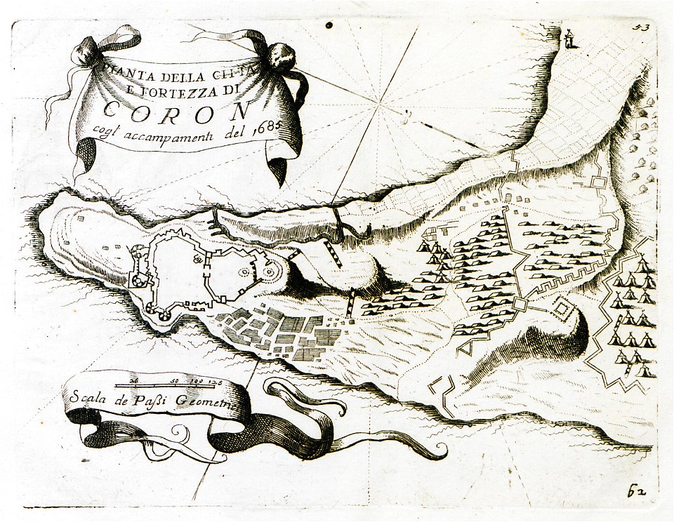
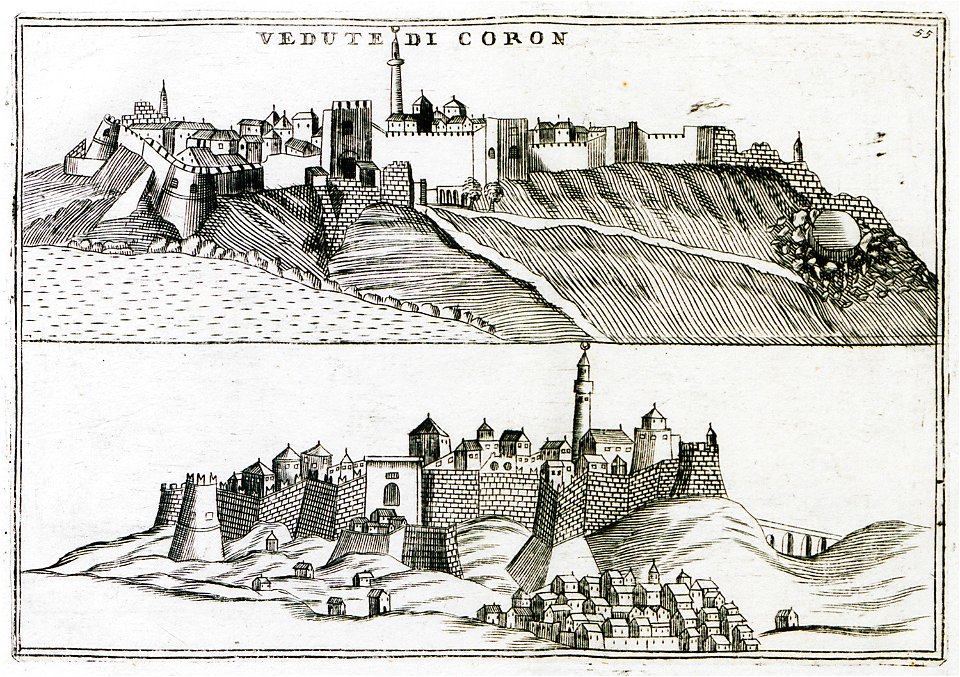
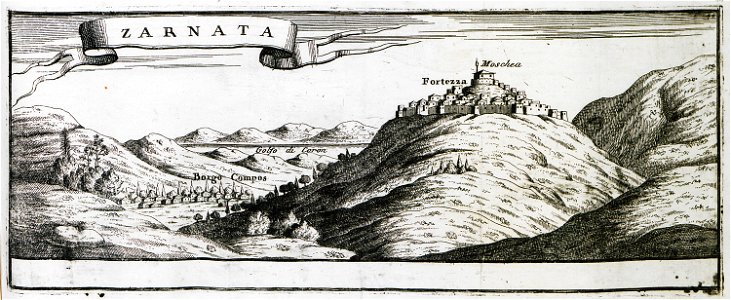
koroni
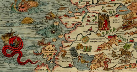
carta marina (details)
sea serpent
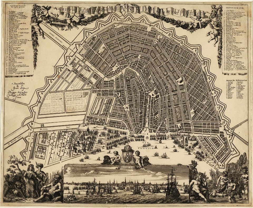
amsterdam in the 1680s
johannes kip
description des principales villes (1690)
old maps of rhodes (city)
geographical illustrations by coronelli
engravings of igoumenitsa
old maps of constantinople
braun & hogenberg
geographical illustrations by coronelli
koroni
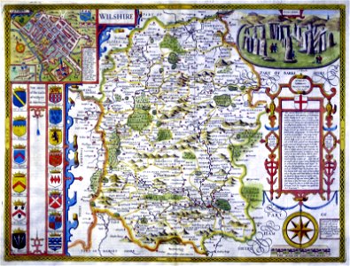
county maps of england by john speed
history of wiltshire
maps of the ore mountains
details of meilenblätter
maps by george h. walker and company
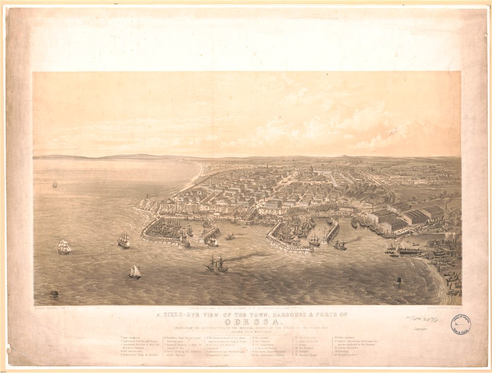
history of odessa
atlas of the russian empire (1792)
maps of wyborg governorate
charts and maps of the royal museums greenwich
joan martines
geographical illustrations by coronelli
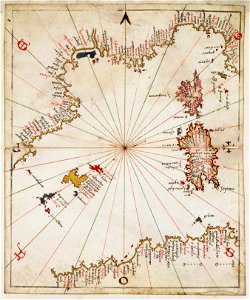
old maps of the peloponnese
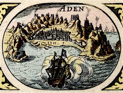
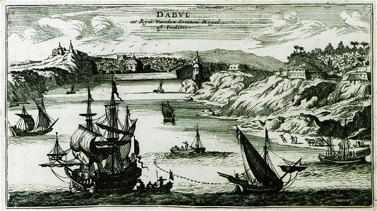
historical images of aden
asia noviter delineata
atlante veneto (raremaps.com) volume 1
old maps of south america
atlante veneto (raremaps.com) volume 1
old maps of mediterranean sea
atlante veneto (raremaps.com) volume 1
maps of the arctic ocean
atlante veneto (raremaps.com) volume 1
maps of the adriatic sea
atlante veneto (raremaps.com) volume 2
18th-century maps of lombardy
atlante veneto (raremaps.com) volume 2
1690s maps of the netherlands
atlante veneto (raremaps.com) volume 2
old maps of the peloponnese
atlante veneto (raremaps.com) volume 2
18th-century maps of lombardy
atlante veneto (raremaps.com) volume 2
1690s maps of the netherlands
atlante veneto (raremaps.com) volume 2
1690s maps of the netherlands
atlante veneto (raremaps.com) volume 2
1690s maps of the netherlands
atlante veneto (raremaps.com) volume 2
historical maps of mughal empire
atlante veneto (raremaps.com) volume 2
17th-century maps of madagascar
l’homme et la terre liseuse livre 2
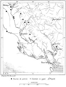
maps of chaldea
l’homme et la terre liseuse livre 2
maps of chaldea
description des principales villes (1690)
old maps of maharashtra
bibliothèque municipale de reims
rès. g 153
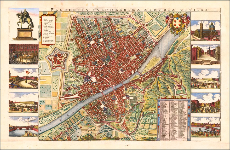
florence in the 1660s
wenzel hollar
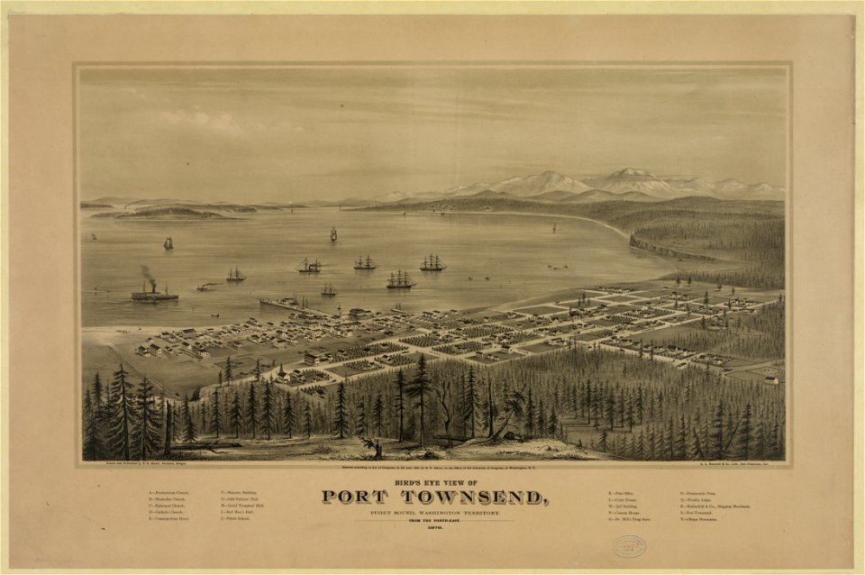
port townsend
washington
port townsend
washington
karl spruner von merz
1865 maps
bibliothèque municipale de reims
rès. g 152
waldburg (adelsfamilie)
coats of arms on maps
charts and maps of the royal museums greenwich
joan martines
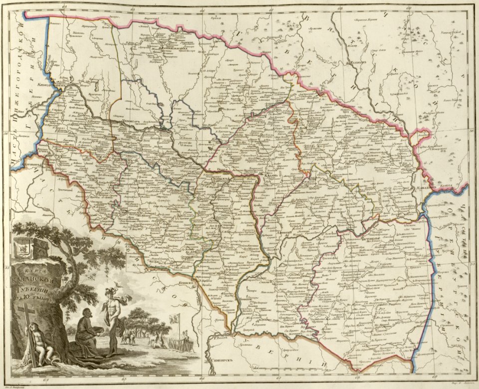
atlas of the russian empire (1800)
maps of kazan governorate
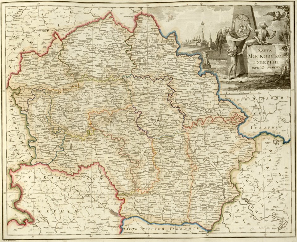
atlas of the russian empire (1800)
maps of moscow governorate
atlas of the russian empire (1800)
maps of pskov governorate
atlas of the russian empire (1800)
maps of vyatka governorate
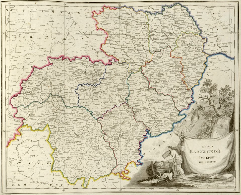
atlas of the russian empire (1800)
maps of kaluga governorate
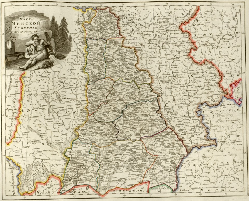
atlas of the russian empire (1800)
maps of minsk governorate
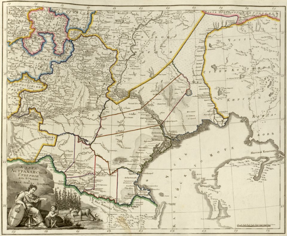
atlas of the russian empire (1800)
maps of astrakhan governorate
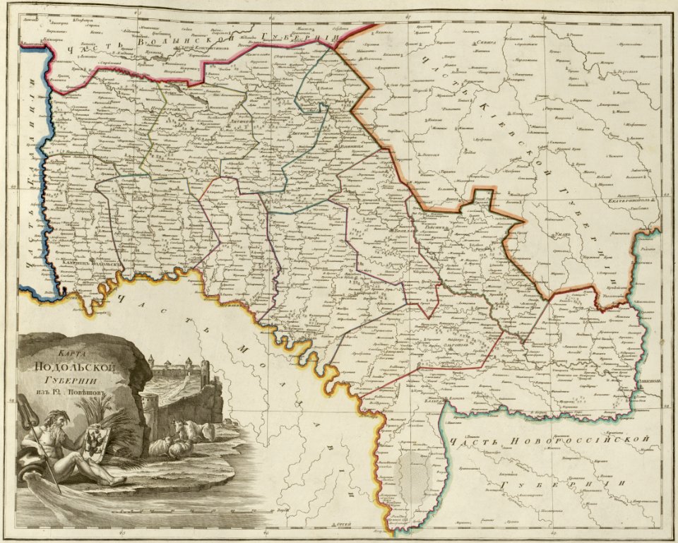
atlas of the russian empire (1800)
maps of podolia governorate
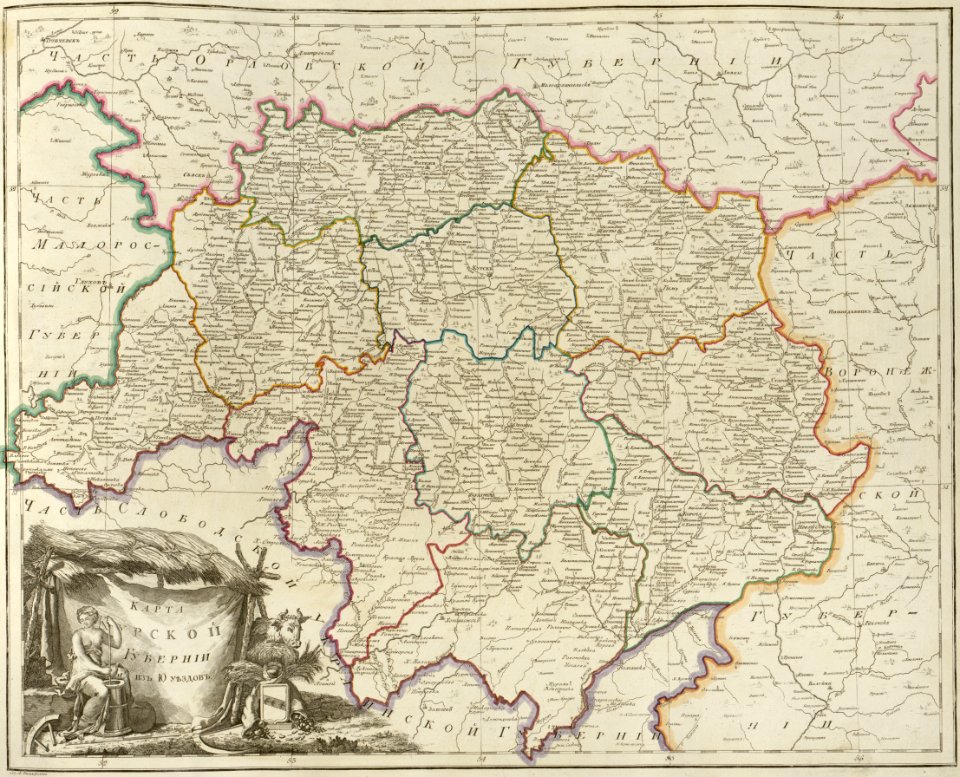
atlas of the russian empire (1800)
maps of kursk governorate
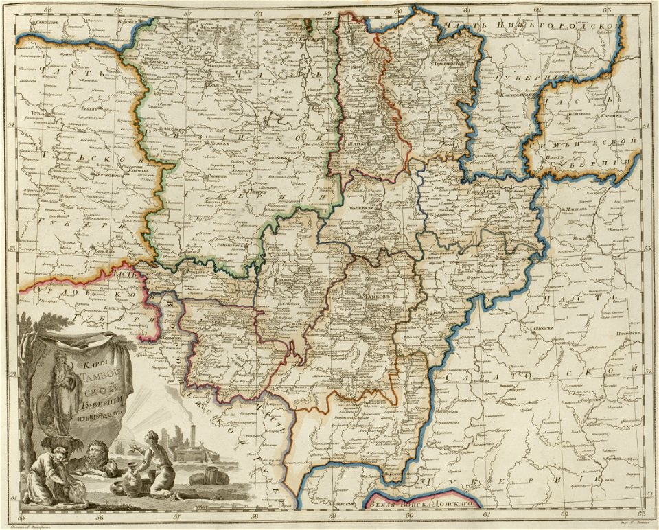
atlas of the russian empire (1800)
maps of tambov governorate
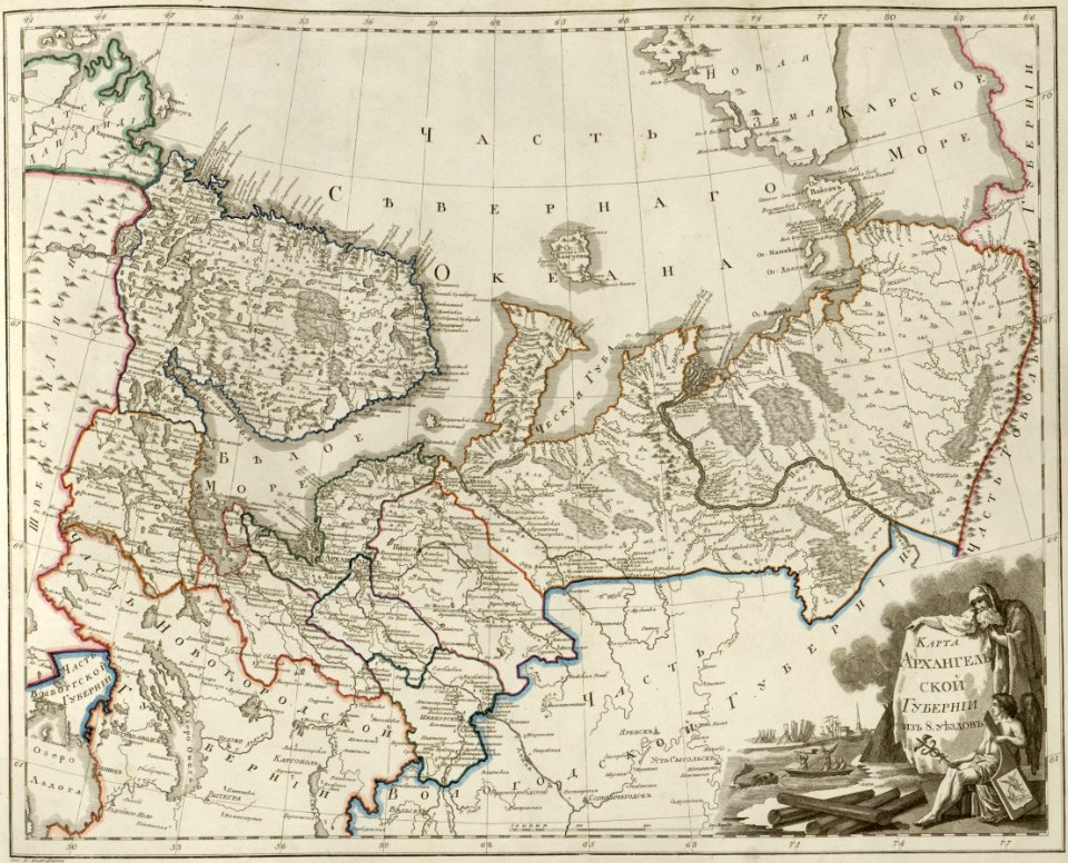
atlas of the russian empire (1800)
maps of arkhangelsk governorate
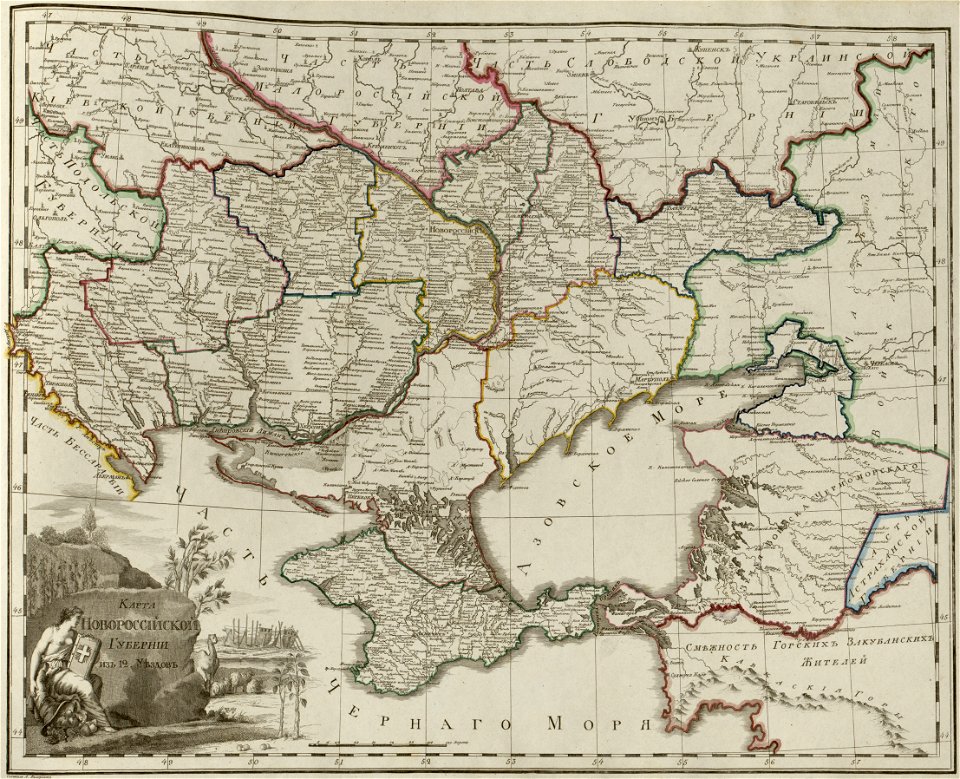
atlas of the russian empire (1800)
maps of novorossia governorate
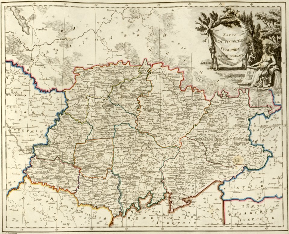
atlas of the russian empire (1800)
maps of kostroma governorate
atlas of the russian empire (1800)
maps of saratov governorate
atlas of the russian empire (1800)
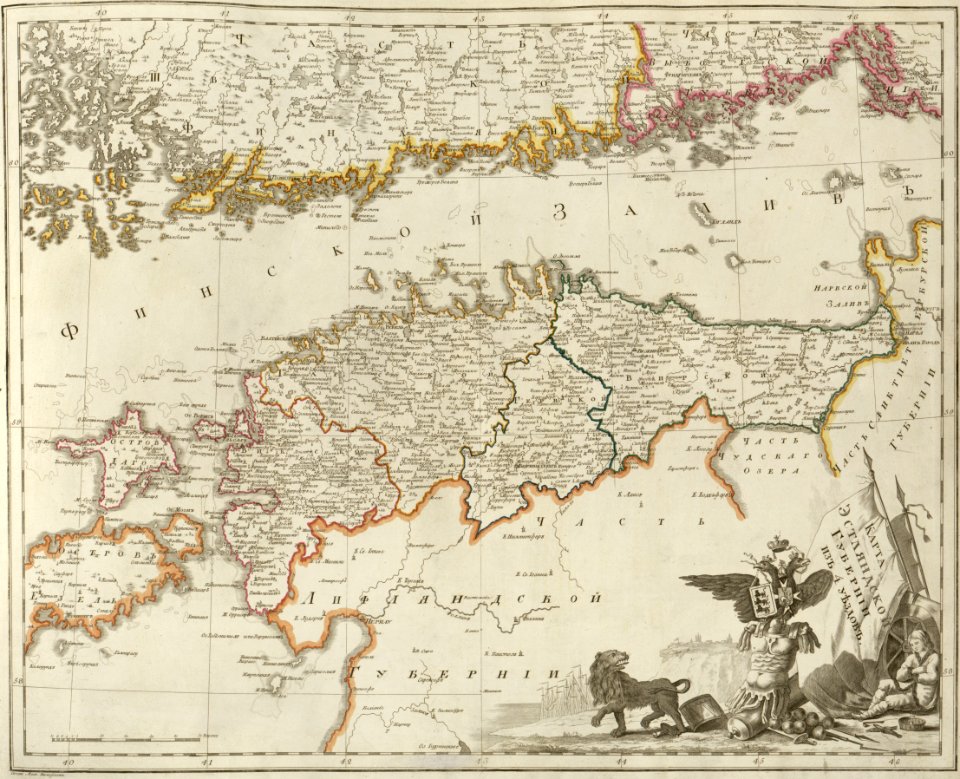
maps of estlandia governorate
atlas of the russian empire (1800)
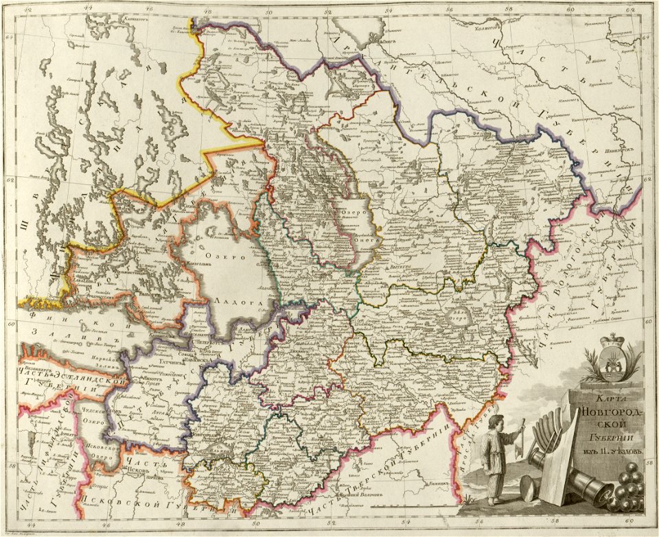
maps of novgorod governorate
atlas of the russian empire (1800)
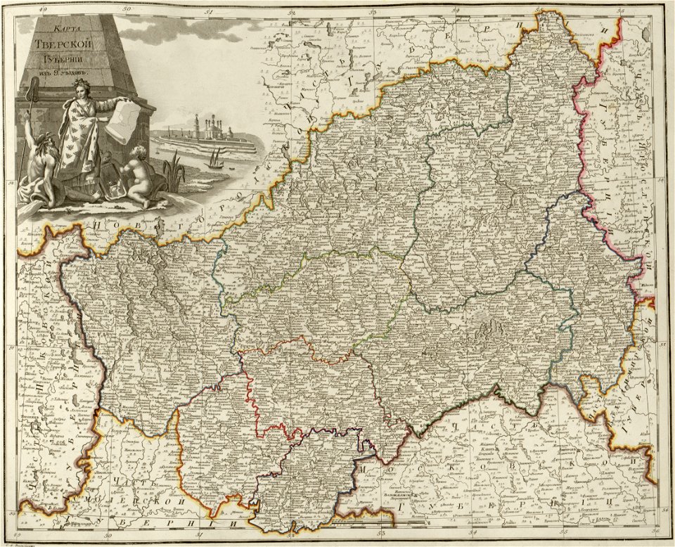
maps of tver governorate
atlas of the russian empire (1800)
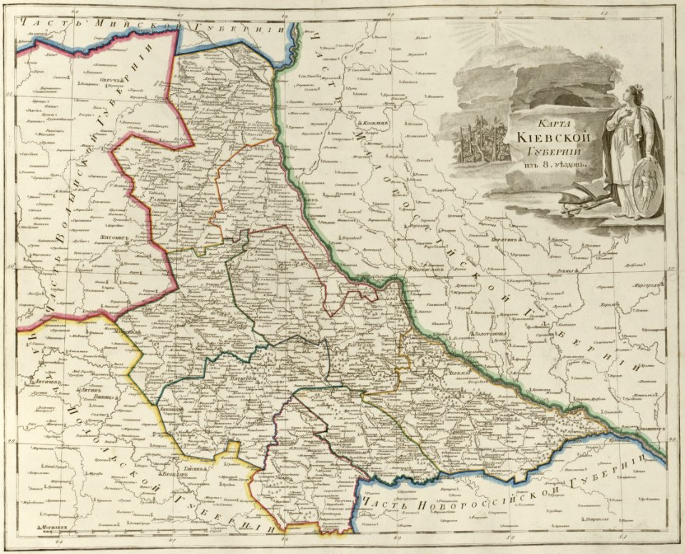
maps of kiev governorate
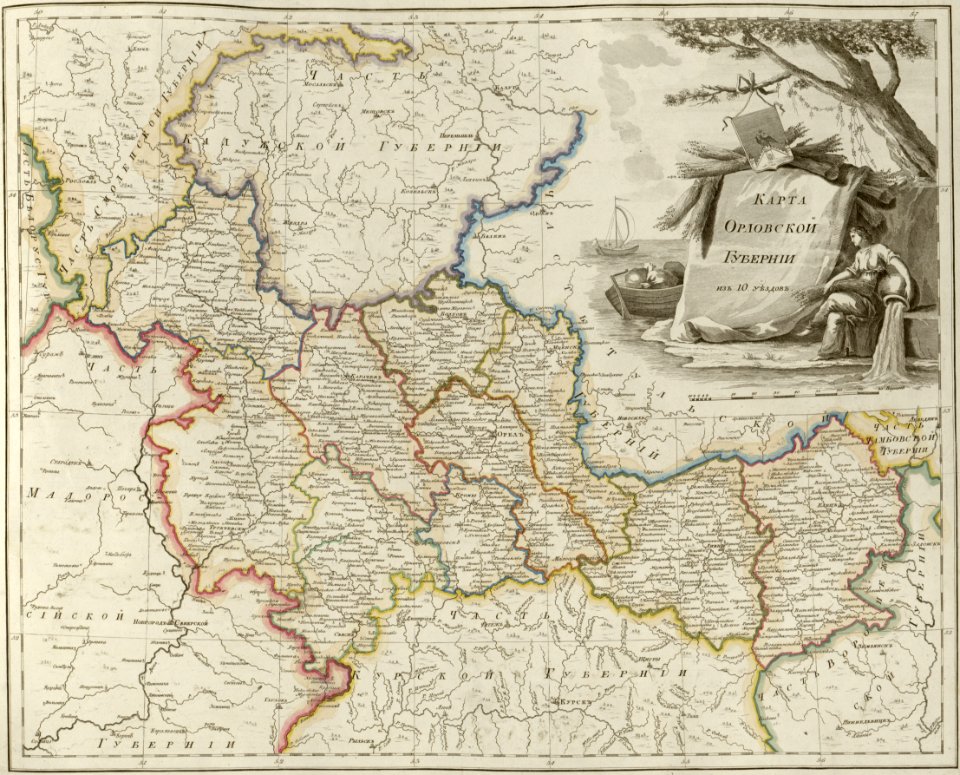
atlas of the russian empire (1800)
maps of oryol governorate
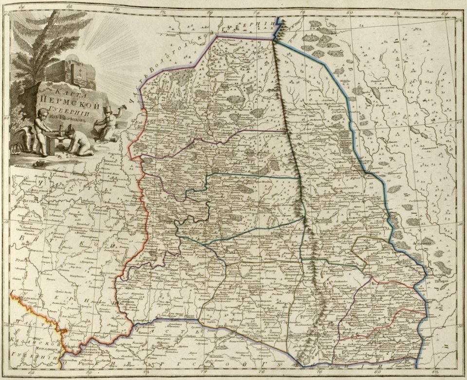
atlas of the russian empire (1800)
maps of perm governorate
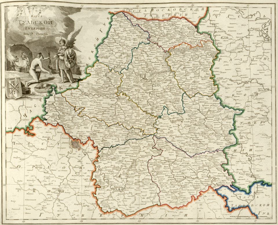
atlas of the russian empire (1800)
maps of tula governorate
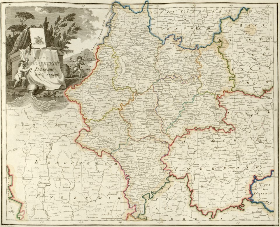
atlas of the russian empire (1800)
maps of smolensk governorate
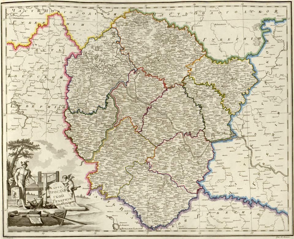
atlas of the russian empire (1800)
maps of yaroslavl governorate
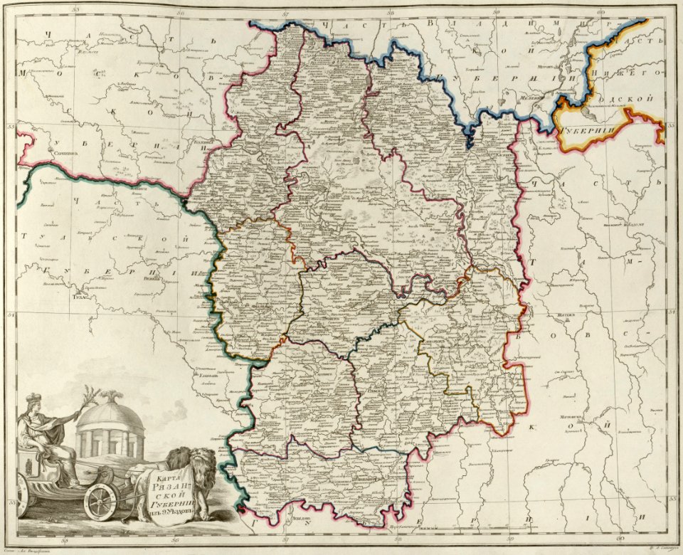
atlas of the russian empire (1800)
maps of ryazan governorate
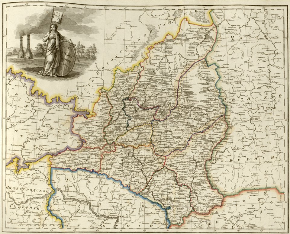
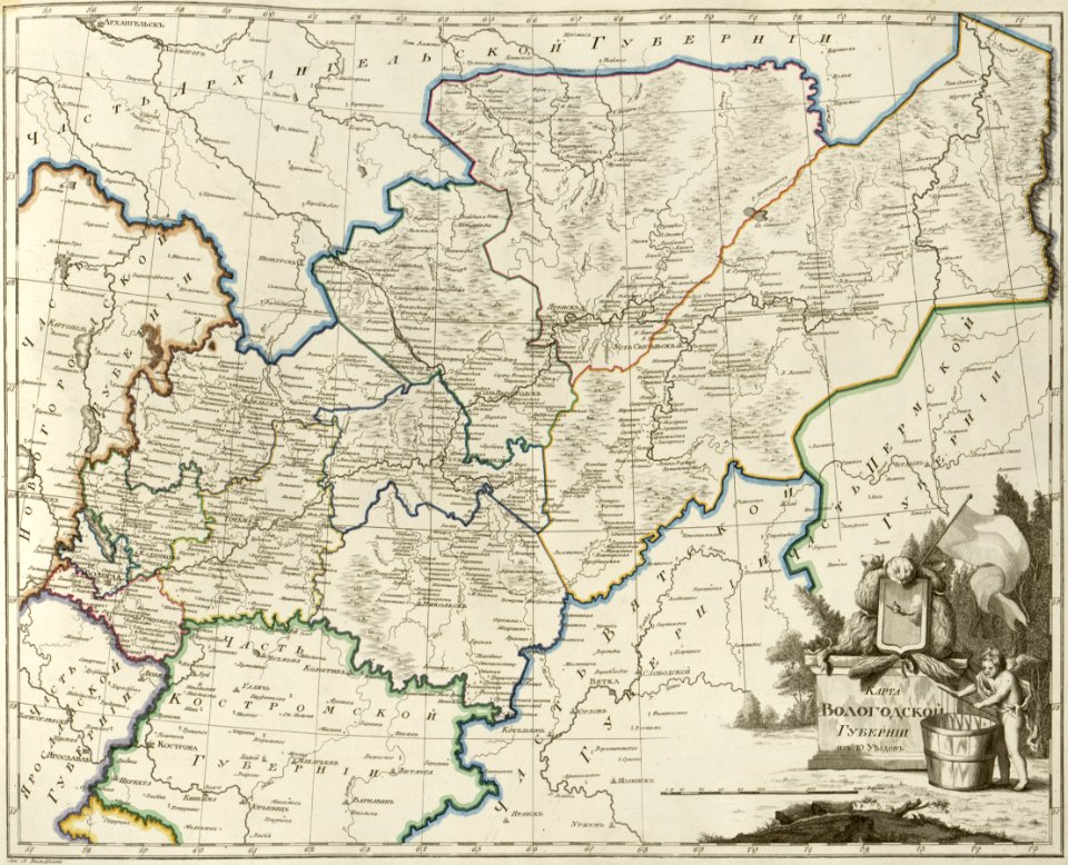
atlas of the russian empire (1800)
maps of vologda governorate
atlas of the russian empire (1800)
maps of volyn governorate
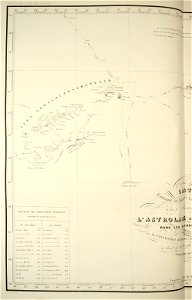
maps of the south orkney islands
voyage au pôle sud
maps of the south shetland islands
voyage au pôle sud
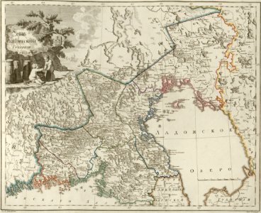
atlas of the russian empire (1800)
maps of wyborg governorate
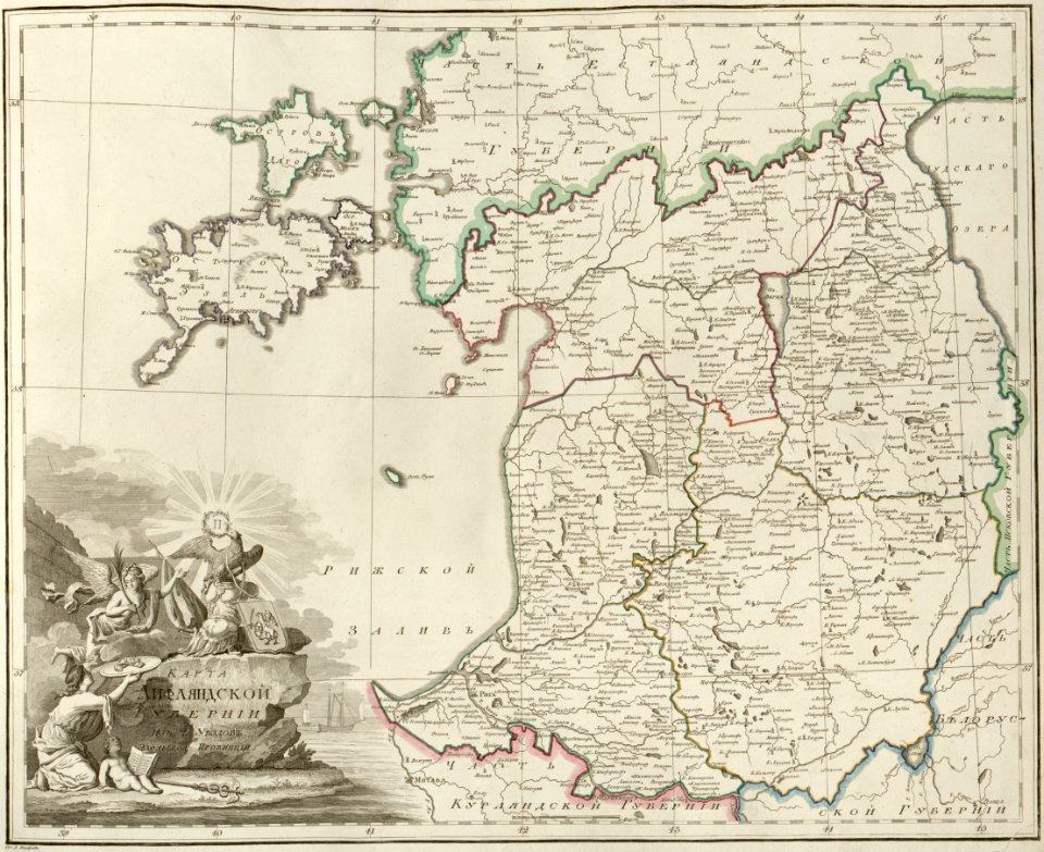
atlas of the russian empire (1800)
maps of liflandia governorate
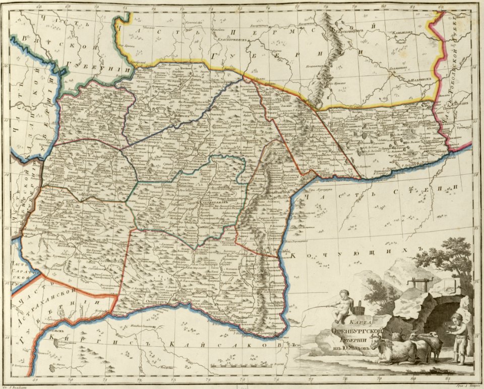
atlas of the russian empire (1800)
maps of orenburg governorate
7701 - 7800 of 34,309
Next page
/ 344